I recently went hiking in Desierto de los Leones National Park (Parque Nacional Desierto de los Liones), widely considered one of the best places to hike near Mexico City. It’s undoubtedly a beautiful place with sweeping landscapes and views of la cuidad in the valley below.
However, I wouldn’t say it’s the easiest hike unless you know the area. When I say ‘easy’ I’m not talking about the physical shape you need to be in; it’s not physically that hard (at least depending which route you do). What my friends and I found really tricky was knowing where to hike since the National Park is void of directions or trail markers.
Did we end up doing the trek we planned? Not sure. Where did we actually go? It’s up for debate. Did we get very lost? Absolutely. Did we have a great day? YES, although it was a little stressful in parts.
Where is Desierto de los Leones National Park?
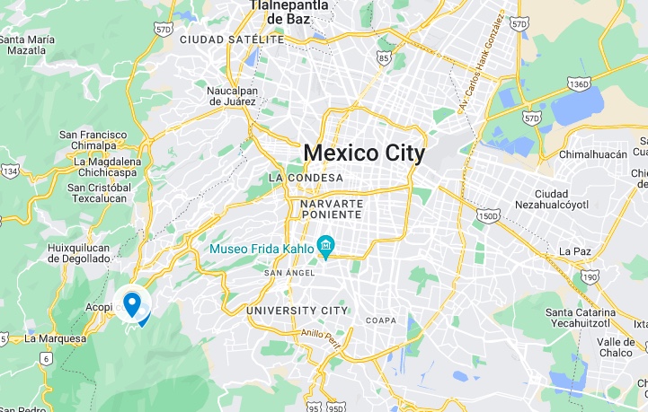
Meaning ‘Desert of the Lions’ in English, this 4,600-acre national park stretches between the Cuajimalpa and Álvaro Obregón boroughs of CDMX. It’s around 30km from the city.
The region was declared a forest reserve in 1876 and the first national park in Mexico in 1917. The tallest peak in the park is Cerro San Miguel (3,770m) while El Caballete Mountain (Cerro El Caballete) is another tall peak.
If you’re wondering about the name of the park, there are no lions here! It’s also very green: far from a desert. The word ‘lion’ references the Leon family who helped Carmelite monks build the convent here centuries ago.
Like hiking? read my guide to hiking in the Pueblos Mancomunados in Oaxaca
Getting to Desierto de los Leones
If you’re doing a hike in Desierto de los Leones National Park, the first thing you’ll need to know is how to get there. It’s easy to access from most places including Centro Historico CDMX and Roma/Condesa.
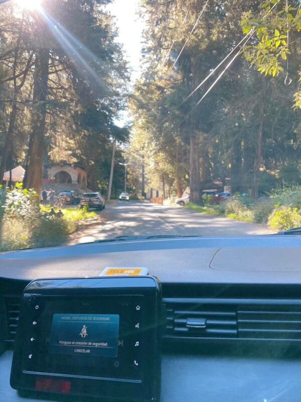
By car
This is the easiest way to arrive if you have your own vehicle. Driving from Mexico City to Desierto de los Leones takes around 40 minutes, depending on traffic. The exact location for your GPS is Estacionamiento Público Parque Nacional Desierto de los Leones. Parking costs 20 pesos for as long as you want.
There’s plenty of parking by the monastery. With the freedom of a car, all I can recommend is arriving early on weekdays so it’s not too crowded. The restaurants and monastery do get very busy, however it’s easy to lose the crowds while hiking. We went hours without seeing more than a couple of other people!
By Uber
If you don’t have your own transport, this is the easiest way to arrive. The route with public transport on the way home took us almost 2 hours so, since you’ll have to do this at the end of the day (Ubers rarely pick up from the park), it’s best to only do it once. Taking a taxi from CDMX means you arrive early and can beat the crowds and get hiking.
An Uber from Mexico City should cost around 250 pesos; not bad for a 40-minute drive. Providing you set ‘Ex Convento Desierto de los Leones’ as your address, it will drop you right at the door of the Convent close to the restaurants and the start of the trails.
Note – since there were five of us, we had to order the Uber XL which was 560 pesos rather than 250.
After an early breakfast in Mexico City, we called an Uber just before 9am and arrived by 9.45am. A very efficient start to the day! Actually, the convent doesn’t open ’til 10am so there’s not much point going earlier than that.
By public transport
This is the longer way to visit Desierto de los Leones National Park and not one I’d particularly recommend if you plan to begin at the Monastery and do a long day’s trek like we did. But for those planning to hike from Santa Rosa Xochiac to the monastery, it’s a viable option.
Here’s what to do if you choose this option.
- Get to Barranca del Muerto metro station (line 7 to the last stop) or Viveros metro station (line 3)
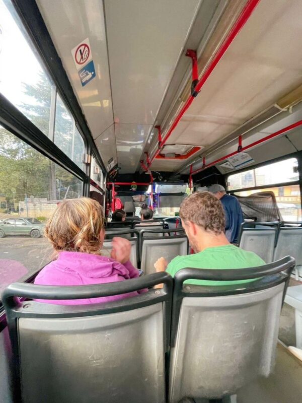
- Locate the bus going to Santa Rosa Xochiac and pay the driver 8 pesos (be sure to have small bills or coins as they likely won’t have change)
- From Santa Rosa, begin the 1-hour hike or find a local taxi to take you to the monastery where you can start other trails. A taxi costs around 150 pesos.
Getting back from Desierto de los Leones to Mexico City
Here’s how we got home…
- Wait at the taxi rank outside the monastery – at 5pm on a Sunday, there were only taxis arriving every 15 minutes
- Arrange a ride to Santa Rosa – this cost us 150 pesos (and he didn’t have a problem with there being 5 of us squeezed in), be sure to tell them you want the bus stop rather than the town center
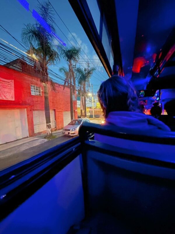
- Board a bus headed back to Mexico City – for 8 pesos, we jumped on one to San Angel neighborhood (because I knew how to get home from there) but it continued to Viveros metro station which was better because we could get the Metro (5 pesos) to Roma.
This entire journey took a little over 2 hours. A long time compared to our 40-minute Uber ride there!
Other hiking options – circular route from Santa Rosa Xochiac
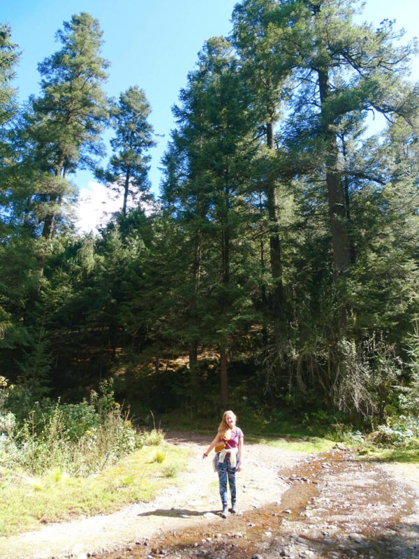
Rather than a trail starting from the Monastery, another option is to hike 1 hour 45 minutes from Santa Rosa Xochiac to the Ex Convento Desierto de los Leones and back again. This also saves 150 pesos on a taxi from Santa Rosa to the monastery (meaning you could arrive from CDMX via a 5 peso metro journey and an 8 peso bus).
With this hike, you’ll leave the bus station and turn onto Camino Panorámico road, then journey upwards through the woods for about an hour before arriving at Ermita San Elias y San José ruins. Once you see this, you’re basically at Ex Convento Desierto de los Leones.
First stop – visiting Ex Convento Desierto de los Leones
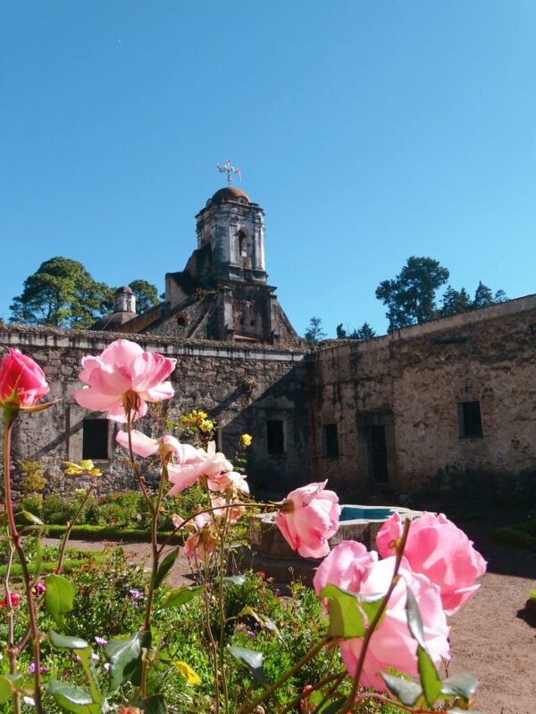
Even if you’re more interested in hiking than history and architecture, it’s worth a quick look around this 17th-century Carmelite convent surrounded by nature. It could be your finishing point if you hike from Santa Rosa Xochiac or your start point if (like us), you begin a hike from the monastery.
Ex Convento Desierto de los Leones (Convent of the Desert of the Lions) casts the imagination back 400 years. You can imagine priests and residents walking the drafty corridors of this crumbling, masterpiece… And perhaps they still do; there are plenty of rumors about the convent being haunted!
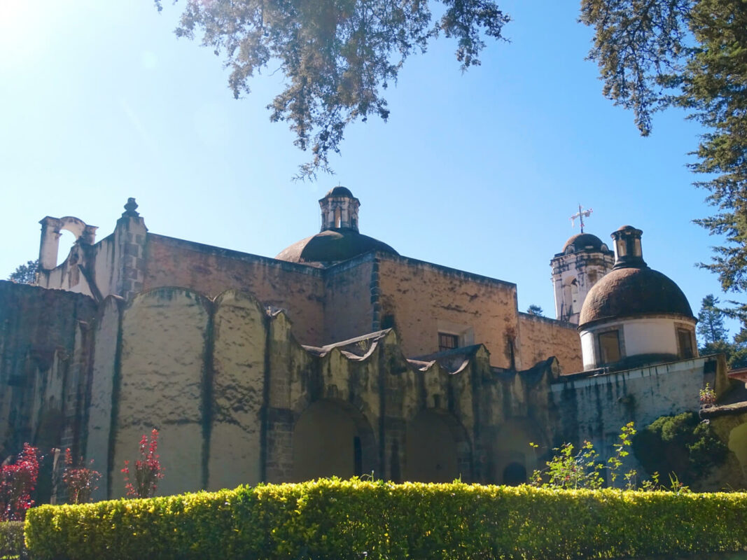
Although construction began in 1606, the original structure wore down quickly due to weather conditions. It was rebuilt but then abandoned due to the civil war. It was used as military barracks for years before it was restored and became a popular tourist attraction.
Opening times: 10am-5pm (closed Mondays). We arrived about 9.45am and they let us in early and we had the whole place to ourselves!
Entry fee: 21 pesos.
Beginning the hike in Desierto de los Leones National Park
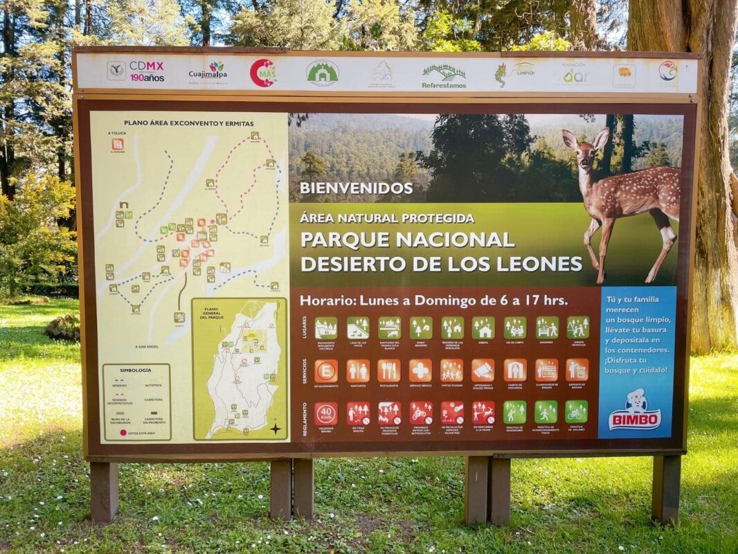
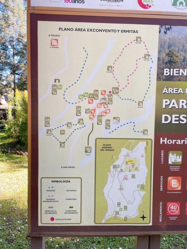
We had read about a couple of hiking trails online and also stopped to look at the sign beside the monastery. As you can see, there are two loops north of the monastery (pink and blue) and one south (blue).
The map we’d found online described a moderate trail but it was tricky to identify it on the park map as none of the trails have names. We guessed the route we were hoping to do was the pink one but we were never quite sure. Also, sticking to the ‘pink trail’ wasn’t a straightforward task, either, because there are no signposts once you leave the monastery area.
Meanwhile, we chatted to a local to see if he could shed light on the situation. If anything, this conversation in Spanish confused me further but he pointed us toward the trail he thought we should take. So, we set off, hoping for the best (and preparing for the worst with lots of mini muffins).
Heading out of the monastery
Standing with our backs to the monastery, we began by walking along the main road heading left, past the many restaurants. We walked on the highway (which was quiet on a Sunday) until we came to the hut that signifies the start of the trail.
Finding the hiking hut
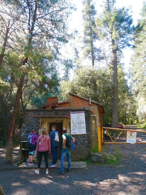
Once you see this to the right on the main road, it’s time to begin the hike into the forest reserve. There was a ranger at the hut who indicated we should sign in on a register. However, because we ended up doing a circular route and didn’t come back here, it must have looked like we were forever lost in the forest!
The first section of the trek is uphill along a gravel path through the woods. Here, you should follow the advice that we’d read everywhere of just keep going up. So, if there’s a fork in the road (I think there was only one), take the road more elevated.
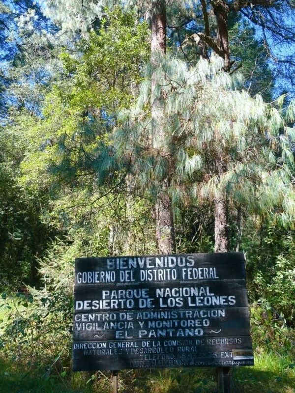
The next checkpoint
After 20 minutes or so, we arrived at a section with some huts and signposts telling you about the animal species in the area from snakes to flora and fauna. There was a woman on the gate who told us some information about the national park.
The rest of the upward hike
After leaving the monastery around 10.20am, we reached the above checkpoint by 11am. Then, we set off on what turned out to be the bulk of the hike in Desierto de los Leones National Park. As I mentioned, the hike is extremely unclear with no signposts or named trails. And, on Google Maps, nothing exists off the main roads.
So I can’t tell you WHERE we were exactly but I feel if you follow the instructions above, you’ll get there, too. Here’s what the hike consisted of next:
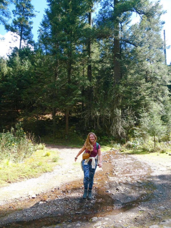
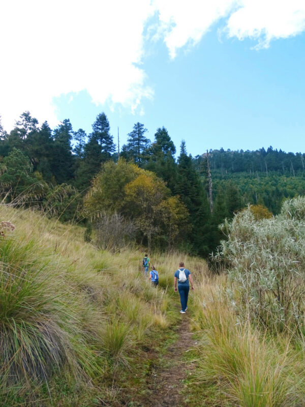
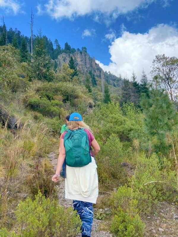
- Walking through the woods for around 40 minutes
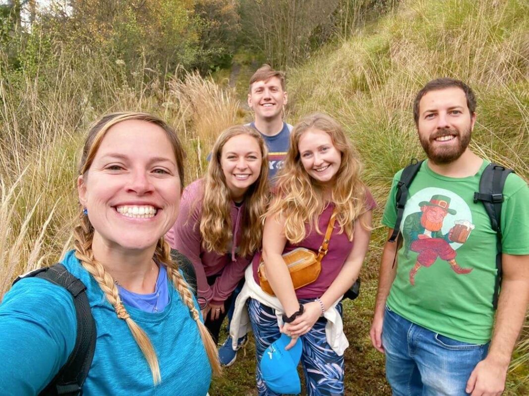
- Trekking through long grass
- Coming out into the open scenery below. I can see from my photos we were out in the open by 12.20pm after leaving the last checkpoint at 11.10am.
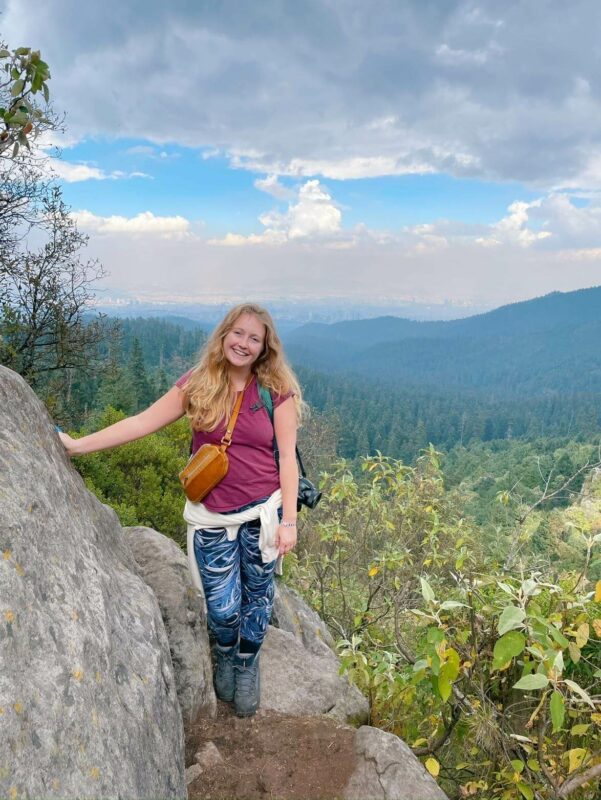
Once we’d finished the sections in the woods and long grass, it became very beautiful. We were up high with views of Mexico City in the distance to one side, and even taller craggy cliffs in the other direction.
Reaching the summit
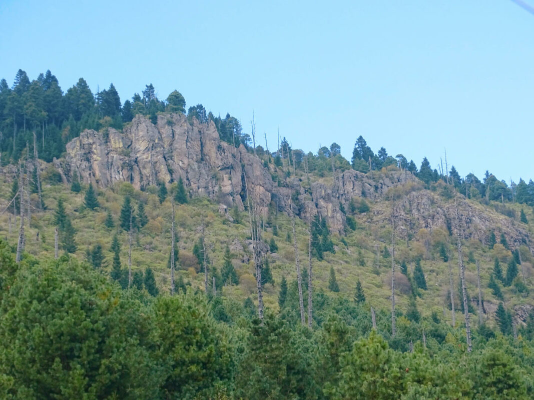
We were hoping to find somewhere nice to sit and enjoy our packed lunches but we didn’t really find anywhere. Instead, we sat on the dirt path where we could see a pano view of the city. Still, we were tired after the last 1-2 hours of walking uphill so we were grateful to sit down and eat.
There wasn’t exactly a middle point or ‘summit’ to the Desierto de los Leones National Park hike but we did find this cool viewpoint (pictured below) called Mirador el Muru comprising some boulders that you can scramble onto. There are some mountain biking racks beside it.
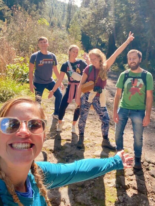
There were a few people sitting out on the rocks when we arrived (the first people we’d seen for at least an hour) but luckily, they were just leaving so we bagged the viewpoint. It was after this that the trail started going back down. This was around 2pm, having started from the hut ‘start point’ around 10.45am.
The descent
We started going downwards at 2pm and arrived back at the monastery at 3.45pm so it was much quicker than the uphill section. These two hours consisted of getting quite lost so it could have been quicker!
We headed downhill through the woods initially following the stone wall to our right and eventually came to a clearing with a choice of two paths (both flat). A local lady selling drinks and some passing mountain bikers both told us to go right and follow the path, which we did. But it kept forking and it looked from Google Maps like we were heading in totally the wrong direction.
Eventually, we decided to veer left towards the road (the section where two roads curve close together with the monastery in the middle) and walked through the woods – off the main path – until we eventually stumbled across the monastery where we’d started.
We must have been close to civilization the whole time but, thanks to the complete lack of signage (apart from the occasional paint splat on a tree), we were stressed for a while knowing it would be dark within 2 hours and we couldn’t contact anyone with no mobile signal.
Food at the monastery restaurants
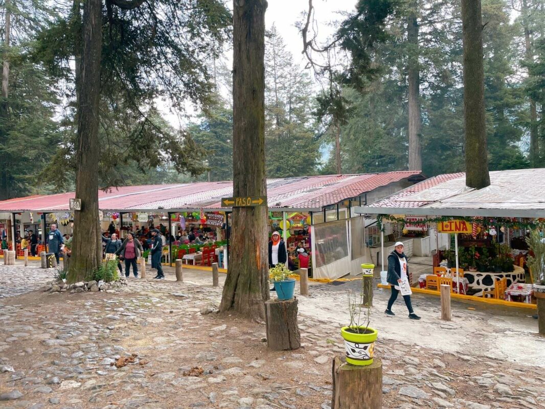
There are countless restaurants at the monastery and parking area, each with staff hollering louder than the last and waving menus at you! It’s quite overwhelming knowing which to pick especially as they sell the same types of food for the same prices.
Part of the reason we went to a restaurant was to use the Wi-Fi to call an Uber because there’s no mobile signal in the area. A waiter on the door told us we could use it but once we sat down we spotted a ‘no tenemos Wi-Fi’ sign instructing us to talk to each other. Luckily, the waitress was persuaded to help us out.
However, no Uber would accept my request, so after some tasty food, we began the 2-hour journey home from Desierto de los Leones National Park starting with a taxi to the Santa Rosa bus stop, followed by a bus to the city and a Metro ride back home.

At the restaurant, I went for a trio of tlacoyos (oblong blue corn patties stuffed with beans and topped with cheese and nopales) and my friends all had sopes (round corn patties topped with beans and cheese). I paid 130 pesos for my meal and an orange juice.
We arrived at the restaurant at 3.45pm and it was 5pm by the time we’d eaten, paid, and boarded a taxi because there were initially none in the taxi rank. Eventually, by 7pm we were back in Roma Norte. What a day!
Facilities at the monastery & car park
As well as restaurants, there are several stores selling drinks and snacks. There’s also a bathroom block that costs 6 pesos and you get toilet paper and hand soap for that price. The facilities aren’t anything fancy but they do the job after a long trek!
What to pack & wear to hike in Desierto de los Leones National Park
- Hiking boots or at least running shoes with good grip
- Sun protection – sunhat, sunglasses, and sunscreen
- A warm layer like a hoodie or jacket – I found that before and after the hike, we got cold when we stopped moving
- Enough water – at least 750ml – as there’s nowhere to buy it after the monastery
- A packed lunch and snacks if you take a similar-length trail to us because you’ll be away from civilization all day (but if you’re hiking from Santa Rosa to the monastery, no need as you can get lunch there).
Tips for the Desierto de los Leones hike CDMX
- Don’t hike alone! Given there’s no mobile signal and no signage, it could be dangerous. I’d also add that hiking with at least one Spanish speaker in your group is a good idea so you can ask for directions
- Tell someone where you’re going – this is generally a good idea when hiking anywhere in the world
- Aim to finish your hike by around 4.30pm because it gets dark shortly after 6pm and taxis are less available after 5pm
- Start early – given the above, this is the best idea if you’re planning on taking a long trail or, in fact, any trail from the monastery; it’s hard to know how long it’ll take
- Be flexible – you’re likely to get a bit lost even if you’ve researched a trail to stick to. But there are many beautiful places to be seen in Desierto de los Leones National Park so stay open-minded – you may find something better than you expected!
Elevation and altitude
The National Park is 3000m above sea level (parts vary from 2,600m to 3,700m), around 1,000m higher than Mexico City! I felt pretty out of breath while hiking uphill which could either have been the altitude or how much pizza I regularly consume 😉
Hopefully you’re already accustomed to the altitude if you’ve been in Mexico City more than a few days (I can’t imagine hiking Desierto de los Leones is the FIRST activity anyone does while sightseeing in the capital!). But be sure to take it easy: stop often and drink plenty of water.
Best season to do the hike
Mexico City generally has a mild climate year-round but you may want to avoid the summer months when there are rainy downpours in the afternoons.
We went in late November and were hiking in t-shirts at points! However, the winter is the coldest time of the year and it gets chilly in December and January, so you’ll want to wrap up warm in those months.
Total costs of visiting
This is how much I spent on my day out…
- Getting there: 110 pesos per person in Uber
- Getting back: 43 pesos (taxi split 5 ways, 8 peso bus, 5 peso Metro)
- Lunch and drink at restaurant: 130 pesos
- Monastery entry: 21 pesos
- Total = 304 pesos ($17.50).
Final thoughts on hiking in Desierto de los Leones National Park
Desierto de los Leones National Park is a beautiful place and I had a great day hiking there. In terms of the hike, it was very confusing and I don’t know why they can’t put up a few signposts! I’d say if you want an easy hike and less chance of getting lost, start in Santa Rosa Xochiac and hike to the monastery and back.
For more of an adventurous hike with great views of Mexico City, start at the monastery early and be prepared to be flexible and enjoy getting a little lost in nature. Bring enough water and snacks in case it takes longer than expected. Overall, it’s a great day out!
I’m including our hiking stats as a humble brag! I really deserved my pizza when I got home.

Thanks for reading!
I hope you have a good idea of how to visit Desierto de los Leones National Park and whether or not you want to take on one of the confusing hikes! I’d say do it 😉
Read more Mexico City blogs…
Mexico City food and drink guides:
- Best breakfast and brunch in Mexico
- Where to find the best coffee in CDMX
- Cute cafes in Condesa
- Cocktail bars in CDMX
- Vegan restaurants in Mexico City
Mexico City neighborhood guides:
- Places to visit in the Historical Center of Mexico City
- Roma Norte and Roma Sur neighborhood guide
- Juarez, Mexico City area guide
- San Angel area guide
Other Mexico City guides: